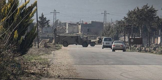
Exhibition Displays Maps Replacing Israel with Palestine

08 January, 2015 00:00
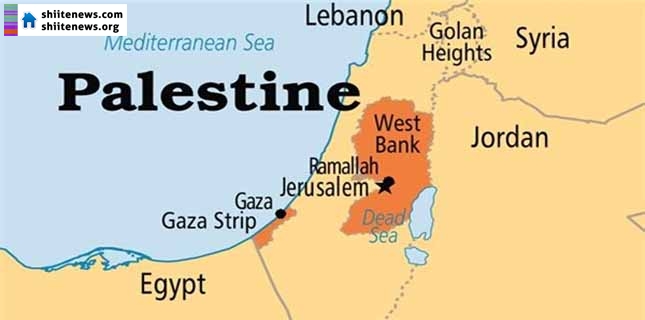
An exhibit paid for by the Norwegian NGO People’s Aid displayed paintings of maps that did not mention Israel and replaced Israel with Palestine, media report said.
The exhibition, titled “This is Palestine,” includes maps painted by Palestinian children from Lebanon, space news reported.
One of the maps, called “This is the area of Palestine,” is accompanied by text stating that the area of “Palestine” is “27,009 square kilometers.” That figure represents the size of all of Israel.
A second map, showing the borders of Palestine, omits any reference to Israel, and a third map displays Israeli cities of Be’er Sheva, Jaffa, Acre, Haifa, and Safed as the cities of Palestine.
Muslims in the Persian Gulf and Middle East see the Israeli entity as completely illegitimate as it was established in 1948 in the territories that were occupied illegally. Since then the entity has pursued a policy of expansion mainly through forced evacuation of people, expansion of settlements and waging war on defenseless civilians.
Must Read